Manila to Honolulu is 5,294 miles (8,520 km), a flight of about 10 hours 45 minutes.
While the takeoff from Manila offers a nice glimpse of Taal Volcano on the right, the Honolulu arrival on the left side delivers the flight's most dramatic scenery — the volcanic Koolau ridgeline, Pearl Harbor, and Diamond Head crater all visible in one sweeping descent, outweighing the brief volcanic view at departure.
Flight Path
The route crosses thousands of miles of open Pacific Ocean, passing well north of Guam and the Mariana Islands and south of the Bonin Islands, with no landmasses visible for most of the cruise phase.
Great circle distance and headings ›Phase by phase
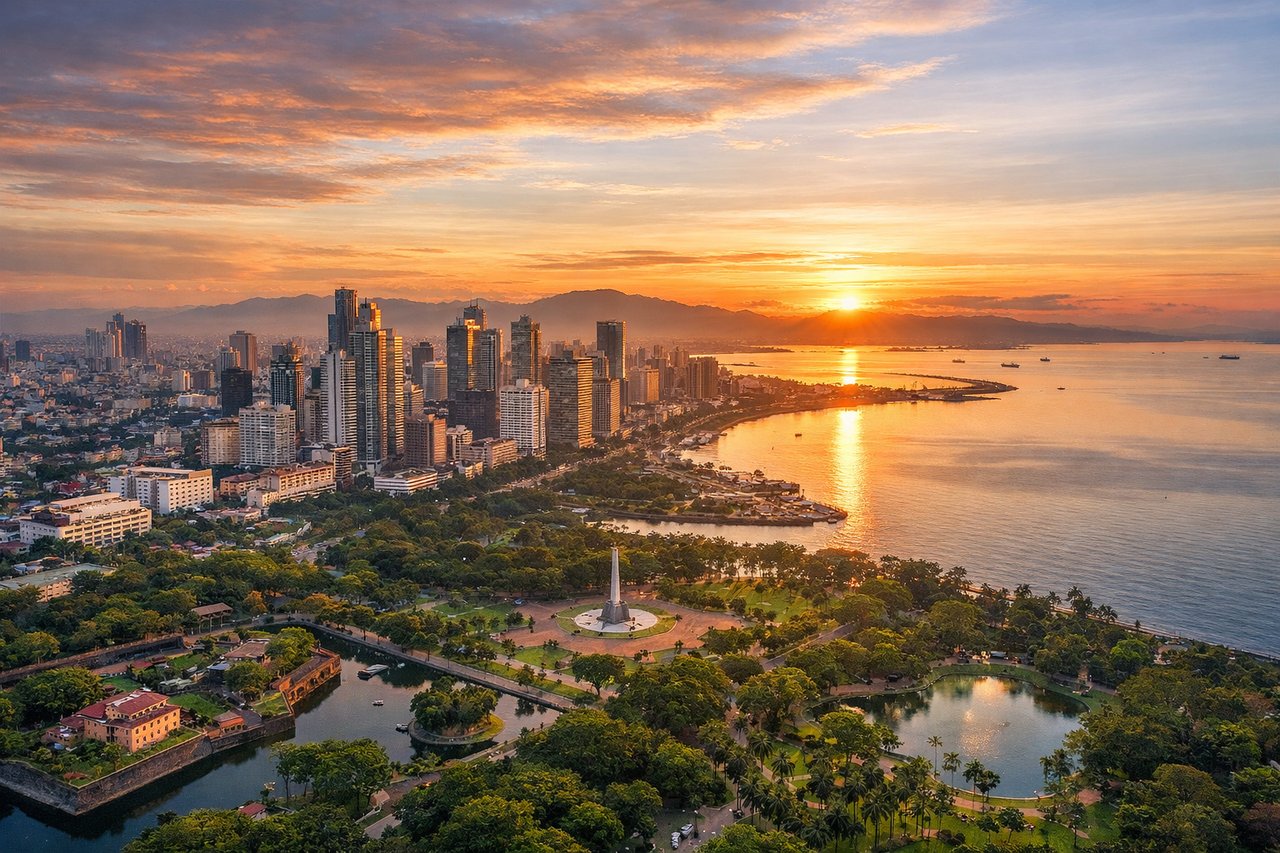
Takeoff from MNL
RIGHTDeparting MNL, the climb-out typically curves south of Manila Bay before settling onto an eastbound track, giving a good look at Laguna de Bay and the Taal Volcano/Tagaytay Ridge area to the south. The left side mostly shows the flatter Rizal foothills and Sierra Madre haze, which are less distinct from altitude.

Landing at HNL
LEFTArriving at HNL from the west, aircraft typically track along Oahu's south-facing shoreline before turning onto final approach, putting the island's interior—Koolau Range peaks, Pearl Harbor, and Honolulu's skyline with Diamond Head in the distance—on the left side. The right side faces open ocean with little to see until touchdown.
Landmarks on this routeAll landmarks →
Will your flight be in sunlight?
Pick a date and time in the Sun Map to watch the sun move across your whole flight.
About This Route
Which side of the plane should I sit on flying from Ninoy Aquino International (MNL) to Honolulu International (HNL)?
Sit on the Left side of the plane for the best views on flights from Manila to Honolulu. While the takeoff from Manila offers a nice glimpse of Taal Volcano on the right, the Honolulu arrival on the left side delivers the flight's most dramatic scenery — the volcanic Koolau ridgeline, Pearl Harbor, and Diamond Head crater all visible in one sweeping descent, outweighing the brief volcanic view at departure.
What can I see during takeoff from Ninoy Aquino International in Manila?
During takeoff from Ninoy Aquino International (MNL), sit on the Right side for the best views. Departing MNL, the climb-out typically curves south of Manila Bay before settling onto an eastbound track, giving a good look at Laguna de Bay and the Taal Volcano/Tagaytay Ridge area to the south. The left side mostly shows the flatter Rizal foothills and Sierra Madre haze, which are less distinct from altitude. Notable sights include: Taal Volcano and Lake, Laguna de Bay, Tagaytay Ridge, Manila Bay coastline.
What can I see when landing at Honolulu International in Honolulu?
When landing at Honolulu International (HNL), sit on the Left side for the best views. Arriving at HNL from the west, aircraft typically track along Oahu's south-facing shoreline before turning onto final approach, putting the island's interior—Koolau Range peaks, Pearl Harbor, and Honolulu's skyline with Diamond Head in the distance—on the left side. The right side faces open ocean with little to see until touchdown. Notable sights include: Koolau Range, Pearl Harbor, Honolulu skyline, Diamond Head crater.
How long is the flight from Manila to Honolulu?
The flight from Ninoy Aquino International (MNL) to Honolulu International (HNL) takes about 10 hours 45 minutes. The shortest flight path between them is 5,294 miles (8,520 km); winds and air traffic control usually add a few percent.
What does the Manila to Honolulu flight path pass over?
The route crosses thousands of miles of open Pacific Ocean, passing well north of Guam and the Mariana Islands and south of the Bonin Islands, with no landmasses visible for most of the cruise phase.