Tokyo to El Paso is 6,076 miles (9,778 km), a flight of about 11 hours 30 minutes.
Right-side seats capture the most dramatic scenery on both legs: Tokyo's urban-coastal transition during departure and the Franklin Mountains during arrival. The takeoff views are particularly strong from the right.
Flight Path
This transpacific route crosses the North Pacific Ocean for roughly 8-9 hours. Notable geographic features along the path include: the Japanese archipelago and its surrounding waters during initial climb; the Aleutian Islands (Alaska) visible from the north on clear days during the mid-Pacific crossing; the Rocky Mountains and Sierra Nevada ranges visible during descent into the southwestern United States; the Colorado Plateau and high desert regions of Arizona and New Mexico during the final approach phase. Most of the flight crosses open ocean with limited ground visibility.
Great circle distance and headings ›
.jpeg?width=600)


.jpg?width=600)
Phase by phase
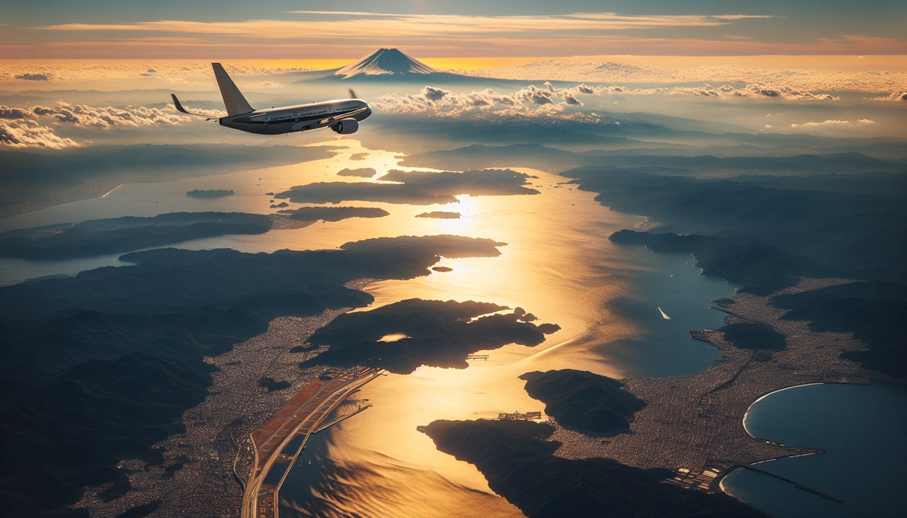
Takeoff from NRT
RIGHTRight-side seats offer views of Tokyo Bay and the Kanto Plain as the aircraft climbs northeast from Narita. You'll see the sprawling urban grid of greater Tokyo and the coastline receding below.
Landing at ELP
LEFTLeft-side seats provide excellent views during descent into El Paso. You'll see the Franklin Mountains rising dramatically from the desert floor and the Rio Grande valley cutting through the Chihuahuan Desert landscape.
Landmarks on this routeAll landmarks →
Will your flight be in sunlight?
Pick a date and time in the Sun Map to watch the sun move across your whole flight.
About This Route
Which side of the plane should I sit on flying from New Tokyo International (NRT) to El Paso International (ELP)?
Sit on the Right side of the plane for the best views on flights from Tokyo to El Paso. Right-side seats capture the most dramatic scenery on both legs: Tokyo's urban-coastal transition during departure and the Franklin Mountains during arrival. The takeoff views are particularly strong from the right.
What can I see during takeoff from New Tokyo International in Tokyo?
During takeoff from New Tokyo International (NRT), sit on the Right side for the best views. Right-side seats offer views of Tokyo Bay and the Kanto Plain as the aircraft climbs northeast from Narita. You'll see the sprawling urban grid of greater Tokyo and the coastline receding below. Notable sights include: Tokyo Bay, Kanto Plain urban sprawl, Pacific Ocean coastline, Mount Fuji (visible on clear days to the southwest, but better from left on approach).
What can I see when landing at El Paso International in El Paso?
When landing at El Paso International (ELP), sit on the Left side for the best views. Left-side seats provide excellent views during descent into El Paso. You'll see the Franklin Mountains rising dramatically from the desert floor and the Rio Grande valley cutting through the Chihuahuan Desert landscape. Notable sights include: Franklin Mountains, Rio Grande valley, Chihuahuan Desert, El Paso urban area.
How long is the flight from Tokyo to El Paso?
The flight from New Tokyo International (NRT) to El Paso International (ELP) takes about 11 hours 30 minutes. The shortest flight path between them is 6,076 miles (9,778 km); winds and air traffic control usually add a few percent.
What does the Tokyo to El Paso flight path pass over?
This transpacific route crosses the North Pacific Ocean for roughly 8-9 hours. Notable geographic features along the path include: the Japanese archipelago and its surrounding waters during initial climb; the Aleutian Islands (Alaska) visible from the north on clear days during the mid-Pacific crossing; the Rocky Mountains and Sierra Nevada ranges visible during descent into the southwestern United States; the Colorado Plateau and high desert regions of Arizona and New Mexico during the final approach phase. Most of the flight crosses open ocean with limited ground visibility.