Tokyo to Oita is 517 miles (831 km), a flight of about 1 hour 15 minutes.
While takeoff offers impressive views of Tokyo and the Kanto Plain, the landing approach provides more varied and visually distinctive scenery—the Seto Inland Sea's island-studded waters, the Kii Peninsula's mountains, and Beppu Bay create a more geographically interesting descent than the relatively flat Kanto landscape during climb-out.
Flight Path
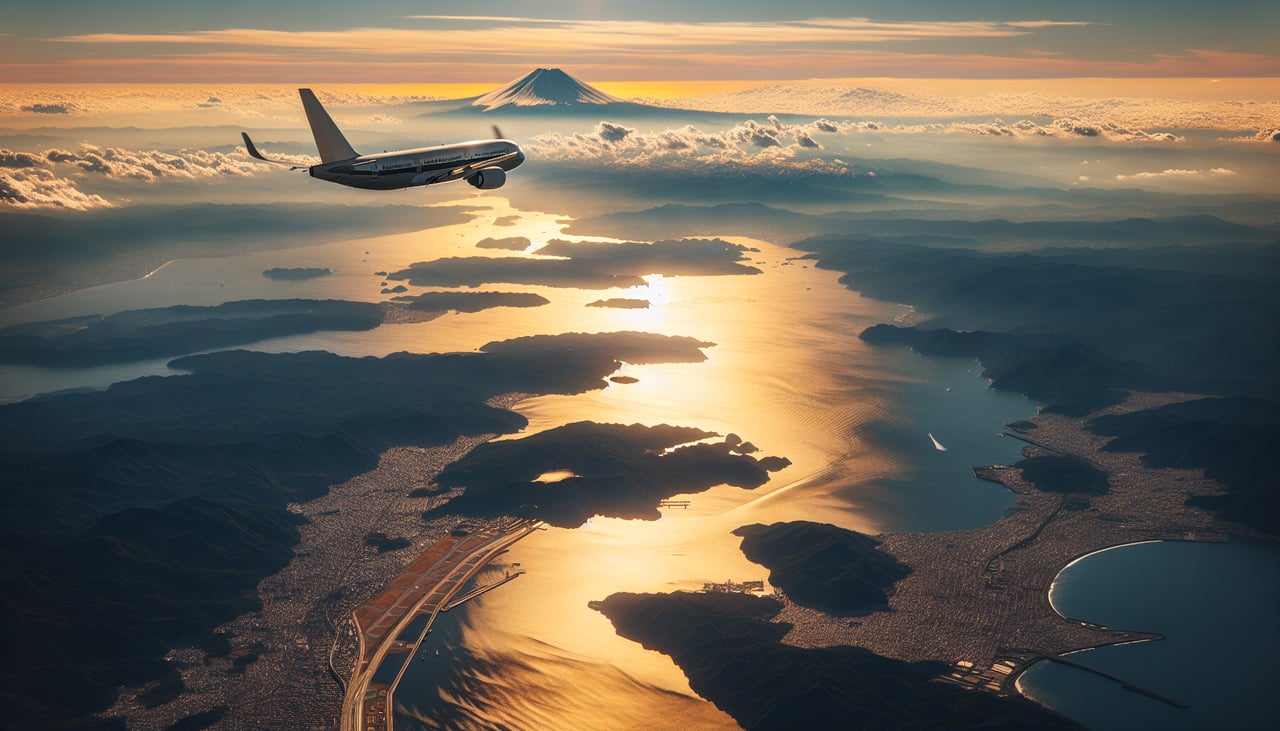
The flight path crosses the Izu Peninsula (visible as a mountainous protrusion south of Tokyo), then passes over the Pacific coast of central Honshu. The Kii Peninsula's forested mountains dominate the mid-flight view, with the Kii Channel separating it from Shikoku. The Seto Inland Sea's numerous islands and narrow straits become increasingly prominent as the aircraft descends toward Kyushu, offering a striking view of Japan's complex island geography.
Great circle distance and headings ›

Phase by phase
Takeoff from NRT
RIGHTRight-side seats capture the Kanto Plain and Tokyo Bay as the aircraft climbs southwestward. You'll see the sprawling urban grid of greater Tokyo, then the bay's distinctive shape and the Boso Peninsula across the water.
Landing at OIT
LEFTLeft-side seats offer views of the Kyushu interior and approach path. As you descend toward Oita, the left side reveals the Kii Peninsula's forested mountains, the Seto Inland Sea's island-dotted waters, and eventually the Oita coastal plains and Beppu Bay.
Landmarks on this routeAll landmarks →
Will your flight be in sunlight?
Pick a date and time in the Sun Map to watch the sun move across your whole flight.
About This Route
Which side of the plane should I sit on flying from New Tokyo International (NRT) to Oita (OIT)?
Sit on the Left side of the plane for the best views on flights from Tokyo to Oita. While takeoff offers impressive views of Tokyo and the Kanto Plain, the landing approach provides more varied and visually distinctive scenery—the Seto Inland Sea's island-studded waters, the Kii Peninsula's mountains, and Beppu Bay create a more geographically interesting descent than the relatively flat Kanto landscape during climb-out.
What can I see during takeoff from New Tokyo International in Tokyo?
During takeoff from New Tokyo International (NRT), sit on the Right side for the best views. Right-side seats capture the Kanto Plain and Tokyo Bay as the aircraft climbs southwestward. You'll see the sprawling urban grid of greater Tokyo, then the bay's distinctive shape and the Boso Peninsula across the water. Notable sights include: Tokyo Bay, Boso Peninsula, Kanto Plain urban expanse, Mount Fuji (distant, on clear days).
What can I see when landing at Oita in Oita?
When landing at Oita (OIT), sit on the Left side for the best views. Left-side seats offer views of the Kyushu interior and approach path. As you descend toward Oita, the left side reveals the Kii Peninsula's forested mountains, the Seto Inland Sea's island-dotted waters, and eventually the Oita coastal plains and Beppu Bay. Notable sights include: Seto Inland Sea with scattered islands, Kii Peninsula mountains, Beppu Bay, Oita coastal plains.
How long is the flight from Tokyo to Oita?
The flight from New Tokyo International (NRT) to Oita (OIT) takes about 1 hour 15 minutes. The shortest flight path between them is 517 miles (831 km); winds and air traffic control usually add a few percent.
What does the Tokyo to Oita flight path pass over?
The flight path crosses the Izu Peninsula (visible as a mountainous protrusion south of Tokyo), then passes over the Pacific coast of central Honshu. The Kii Peninsula's forested mountains dominate the mid-flight view, with the Kii Channel separating it from Shikoku. The Seto Inland Sea's numerous islands and narrow straits become increasingly prominent as the aircraft descends toward Kyushu, offering a striking view of Japan's complex island geography.