The left (south-facing) side captures the dramatic Cotopaxi and Illiniza volcanoes during departure and the volcanic highlands of Santa Cruz Island during arrival, giving it more consistent terrain drama than the right side, which faces flatter or more distant terrain for most of the flight.
Flight Path
After crossing the western Andean cordillera and Ecuador's coastal lowlands near Guayas, the flight spends its middle portion over open Pacific Ocean with no visible landmarks until the Galapagos archipelago appears near the descent.
Great circle distance and headings ›

%2C_Punta_Pitt%2C_isla_de_San_Crist%C3%B3bal%2C_islas_Gal%C3%A1pagos%2C_Ecuador%2C_2015-07-24%2C_DD_11.JPG?width=600)
Phase by phase
Takeoff from UIO
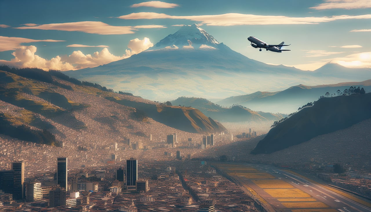
LEFTDeparting Tababela, flights to Galapagos typically swing southwest to avoid high terrain, putting Cotopaxi and the Illiniza peaks in view on the south (left) side as the aircraft climbs out of the Quito basin. The right side mostly shows the drier eastern slopes and Cayambe far in the distance, which is less consistently visible.
Landing at GPS
LEFTOn approach into Baltra, the final turn brings Santa Cruz Island's green volcanic highlands and Academy Bay into view on the south (left) side, offering a striking contrast against the turquoise Pacific. The right side mainly faces open ocean and the flatter, arid terrain of North Seymour, which is less visually dramatic.
Landmarks on this routeAll landmarks →
Will your flight be in sunlight?
See exactly which side of the plane gets sun and shade at your departure time.
About This Route
Which side of the plane should I sit on flying from Mariscal Sucre International Airport (UIO) to Seymour (GPS)?
Sit on the Left side of the plane for the best views on flights from Quito to Galapagos. The left (south-facing) side captures the dramatic Cotopaxi and Illiniza volcanoes during departure and the volcanic highlands of Santa Cruz Island during arrival, giving it more consistent terrain drama than the right side, which faces flatter or more distant terrain for most of the flight.
What can I see during takeoff from Mariscal Sucre International Airport in Quito?
During takeoff from Mariscal Sucre International Airport (UIO), sit on the Left side for the best views. Departing Tababela, flights to Galapagos typically swing southwest to avoid high terrain, putting Cotopaxi and the Illiniza peaks in view on the south (left) side as the aircraft climbs out of the Quito basin. The right side mostly shows the drier eastern slopes and Cayambe far in the distance, which is less consistently visible. Notable sights include: Cotopaxi volcano, Illiniza Norte and Sur, southern Quito valley, Sincholagua ridge.
What can I see when landing at Seymour in Galapagos?
When landing at Seymour (GPS), sit on the Left side for the best views. On approach into Baltra, the final turn brings Santa Cruz Island's green volcanic highlands and Academy Bay into view on the south (left) side, offering a striking contrast against the turquoise Pacific. The right side mainly faces open ocean and the flatter, arid terrain of North Seymour, which is less visually dramatic. Notable sights include: Santa Cruz Island highlands, Academy Bay near Puerto Ayora, Daphne Major islet, turquoise Pacific shallows.
How long is the flight from Quito to Galapagos?
The flight from Mariscal Sucre International Airport (UIO) to Seymour (GPS) takes 1h 50m.
What does the Quito to Galapagos flight path pass over?
After crossing the western Andean cordillera and Ecuador's coastal lowlands near Guayas, the flight spends its middle portion over open Pacific Ocean with no visible landmarks until the Galapagos archipelago appears near the descent.