While the left side wins the takeoff with Seoul's skyline, the right side offers a more varied cruise—southern Korea's coastline, the Korea Strait, Tsushima, and the islands of the Seto Inland Sea—plus a stronger landing sequence over Ise Bay and Nagoya's port, giving it the edge for the full flight.
Flown ICN to NGO? Did we get it right?
Flight Path
Seoul to Nagoya is 605 miles (973 km), a flight of about 1 hour 50 minutes.
Korea Strait, Tsushima Island, western approaches to the Seto Inland Sea
Great circle distance and headings ›Phase by phase
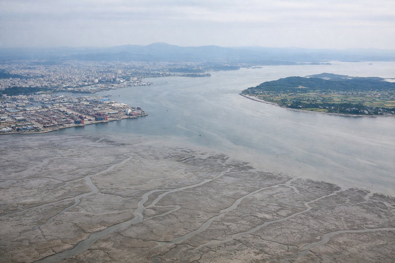
Takeoff from ICN
LEFTDeparting ICN to the southeast, the left side faces north toward Seoul, giving passengers a brief but striking view of the Han River winding through the capital's skyline and the granite peaks of Bukhansan National Park before the city falls away. The right side only shows the flat, hazy islands of Incheon's outer harbor.
Landing at NGO
RIGHTOn approach to NGO, arrivals typically cross Ise Bay before turning onto final, and the right side faces west toward the Chita Peninsula, Nagoya's dense port and city skyline, with the distant Suzuka mountains as a backdrop. The left side mostly shows open Pacific-facing water with little detail.
Will your flight be in sunlight?
Pick a date and time in the Sun Map to watch the sun move across your whole flight.
About This Route
Which side of the plane should I sit on flying from Incheon International (ICN) to Chubu Centrair International Airport (NGO)?
Sit on the Right side of the plane for the best views on flights from Seoul to Nagoya. While the left side wins the takeoff with Seoul's skyline, the right side offers a more varied cruise—southern Korea's coastline, the Korea Strait, Tsushima, and the islands of the Seto Inland Sea—plus a stronger landing sequence over Ise Bay and Nagoya's port, giving it the edge for the full flight.
What can I see during takeoff from Incheon International in Seoul?
During takeoff from Incheon International (ICN), sit on the Left side for the best views. Departing ICN to the southeast, the left side faces north toward Seoul, giving passengers a brief but striking view of the Han River winding through the capital's skyline and the granite peaks of Bukhansan National Park before the city falls away. The right side only shows the flat, hazy islands of Incheon's outer harbor. Notable sights include: Han River, Seoul skyline, Bukhansan granite peaks, Incheon Bay islands.
What can I see when landing at Chubu Centrair International Airport in Nagoya?
When landing at Chubu Centrair International Airport (NGO), sit on the Right side for the best views. On approach to NGO, arrivals typically cross Ise Bay before turning onto final, and the right side faces west toward the Chita Peninsula, Nagoya's dense port and city skyline, with the distant Suzuka mountains as a backdrop. The left side mostly shows open Pacific-facing water with little detail. Notable sights include: Chita Peninsula, Nagoya port cranes and skyline, Ise Bay shoreline, Suzuka mountain range.
How long is the flight from Seoul to Nagoya?
The flight from Incheon International (ICN) to Chubu Centrair International Airport (NGO) takes about 1 hour 50 minutes. The shortest flight path between them is 605 miles (973 km); winds and air traffic control usually add a few percent.
What does the Seoul to Nagoya flight path pass over?
Korea Strait, Tsushima Island, western approaches to the Seto Inland Sea