Right side scores higher due to superior scenic variety: Hilo's coastal departure over volcanic terrain and bay, combined with Kauai's world-class Na Pali Coast and windward cliffs on approach. Left side offers only inland volcanic plateau and open ocean, with minimal landmark density. The right side captures two distinct, visually dramatic Hawaiian landscapes.
Flight Path
Open Pacific Ocean between islands; no significant landmarks visible during cruise phase. Flight path crosses the Kaiwi Channel between Hawaii and Kauai islands, approximately 90 nautical miles of open water at altitude.
Great circle distance and headings ›

.jpg?width=600)


Phase by phase
Takeoff from ITO
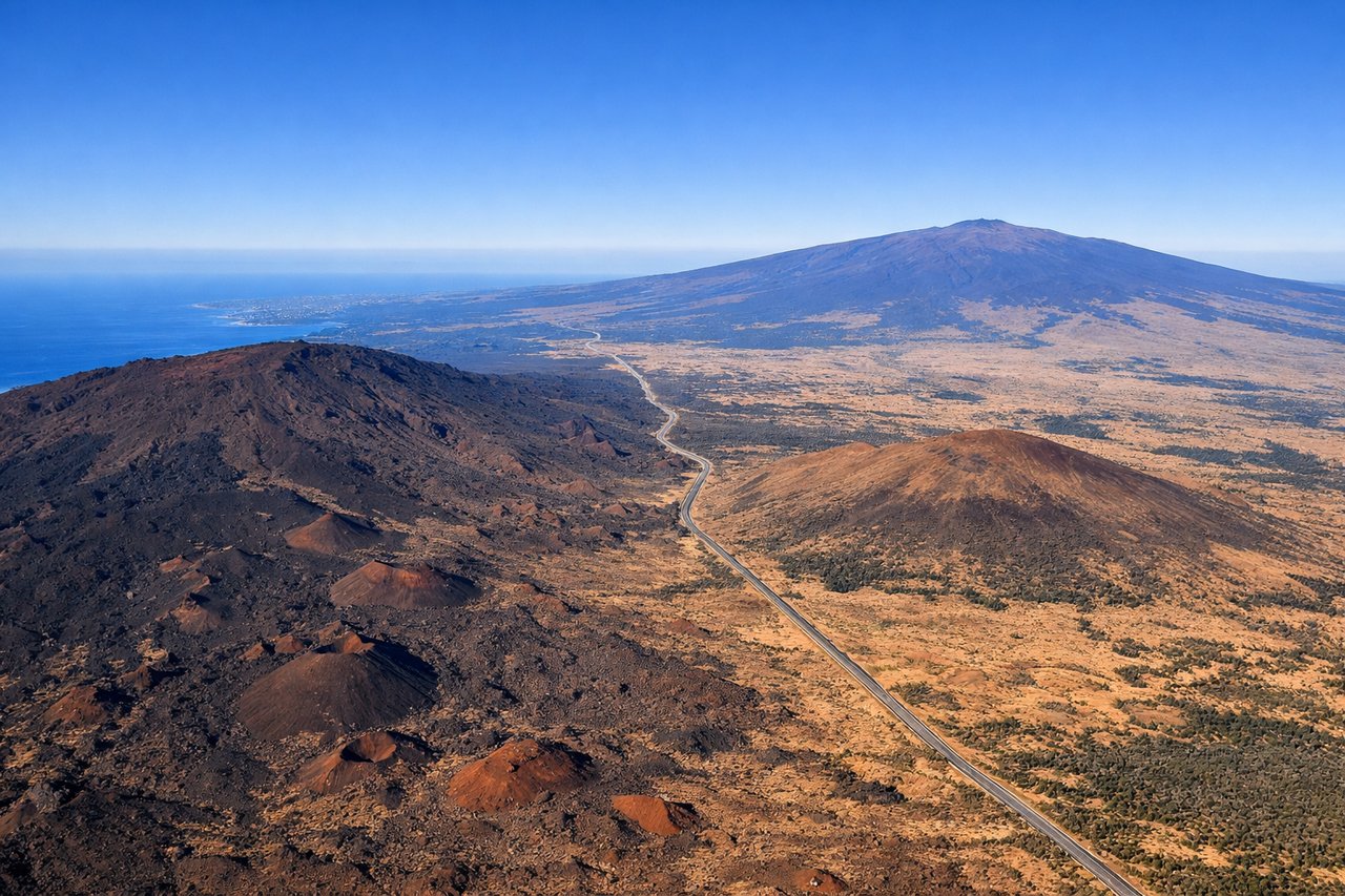
RIGHTRight side captures Hilo's coastal departure over Hilo Bay and the eastern flank of Mauna Kea, with dramatic volcanic terrain immediately visible. Left side shows inland volcanic plateau with less immediate visual interest during climb-out.
Landing at LIH
RIGHTRight side offers superior approach views of Kauai's dramatic windward coast, including the Na Pali cliffs and Hanalei Bay. Left side shows open ocean and the island's interior plateau with less distinctive features during descent.
Landmarks on this routeAll landmarks →
Will your flight be in sunlight?
See exactly which side of the plane gets sun and shade at your departure time.
About This Route
Which side of the plane should I sit on flying from Hilo International (ITO) to Lihue (LIH)?
Sit on the Right side of the plane for the best views on flights from Hilo to Lihue. Right side scores higher due to superior scenic variety: Hilo's coastal departure over volcanic terrain and bay, combined with Kauai's world-class Na Pali Coast and windward cliffs on approach. Left side offers only inland volcanic plateau and open ocean, with minimal landmark density. The right side captures two distinct, visually dramatic Hawaiian landscapes.
What can I see during takeoff from Hilo International in Hilo?
During takeoff from Hilo International (ITO), sit on the Right side for the best views. Right side captures Hilo's coastal departure over Hilo Bay and the eastern flank of Mauna Kea, with dramatic volcanic terrain immediately visible. Left side shows inland volcanic plateau with less immediate visual interest during climb-out. Notable sights include: Hilo Bay, Mauna Kea's eastern slope, Saddle Road corridor, Hilo town waterfront.
What can I see when landing at Lihue in Lihue?
When landing at Lihue (LIH), sit on the Right side for the best views. Right side offers superior approach views of Kauai's dramatic windward coast, including the Na Pali cliffs and Hanalei Bay. Left side shows open ocean and the island's interior plateau with less distinctive features during descent. Notable sights include: Na Pali Coast cliffs, Hanalei Bay, Kauai's windward ridgelines, Lihue harbor approach.
How long is the flight from Hilo to Lihue?
The flight from Hilo International (ITO) to Lihue (LIH) takes 0h 35m.
What does the Hilo to Lihue flight path pass over?
Open Pacific Ocean between islands; no significant landmarks visible during cruise phase. Flight path crosses the Kaiwi Channel between Hawaii and Kauai islands, approximately 90 nautical miles of open water at altitude.