The right side tracks closer to the Chinese and Vietnamese coastlines during cruise and offers the stronger takeoff and landing sequences, including Incheon's tidal flats and Singapore's skyline on final approach, while the left side is dominated by open ocean over the Philippine Sea and South China Sea.
Flight Path
The route crosses the East China Sea east of Shanghai, continues over the South China Sea between Taiwan and the Philippines, then passes west of the Spratly Islands before tracking down the Vietnamese coast toward the Malay Peninsula.
Great circle distance and headings ›.jpg?width=600)


Phase by phase
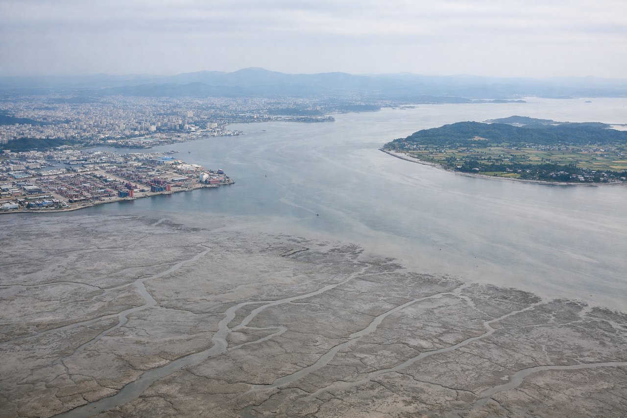
Takeoff from ICN
RIGHTDeparting ICN southbound, the right side gives a clear view of the Incheon tidal flats, the maze of islands around Ganghwa-do, and the Yellow Sea coastline as the aircraft climbs out over water. The left side mostly shows open Yellow Sea with little coastal detail.
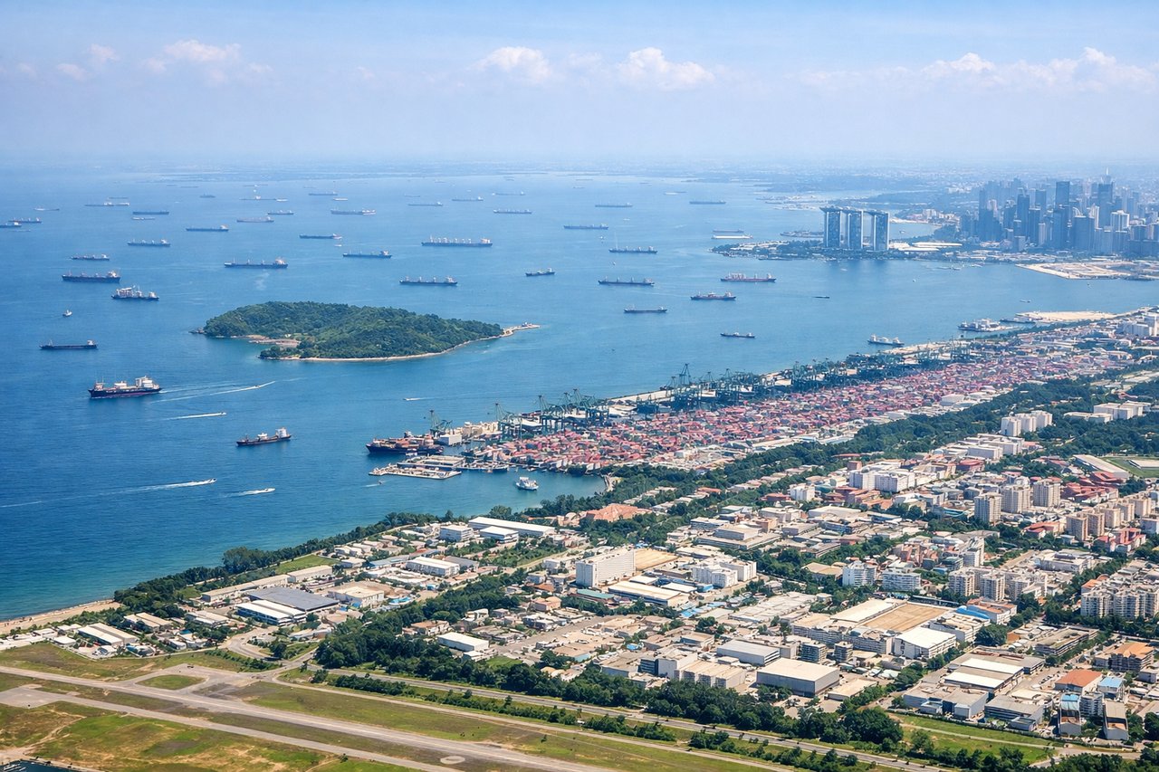
Landing at SIN
RIGHTOn approach into Changi from the north, the right side faces west toward the Straits of Johor and Singapore's dense CBD skyline, including Marina Bay, before the final turn onto the runway. The left side mostly overlooks open water toward the Singapore Strait shipping lanes with less city detail.
Landmarks on this routeAll landmarks →
Will your flight be in sunlight?
See exactly which side of the plane gets sun and shade at your departure time.
About This Route
Which side of the plane should I sit on flying from Incheon International (ICN) to Singapore Changi (SIN)?
Sit on the Right side of the plane for the best views on flights from Seoul to Singapore. The right side tracks closer to the Chinese and Vietnamese coastlines during cruise and offers the stronger takeoff and landing sequences, including Incheon's tidal flats and Singapore's skyline on final approach, while the left side is dominated by open ocean over the Philippine Sea and South China Sea.
What can I see during takeoff from Incheon International in Seoul?
During takeoff from Incheon International (ICN), sit on the Right side for the best views. Departing ICN southbound, the right side gives a clear view of the Incheon tidal flats, the maze of islands around Ganghwa-do, and the Yellow Sea coastline as the aircraft climbs out over water. The left side mostly shows open Yellow Sea with little coastal detail. Notable sights include: Ganghwa-do island cluster, Incheon tidal mudflats, Songdo skyline, Yellow Sea coastline.
What can I see when landing at Singapore Changi in Singapore?
When landing at Singapore Changi (SIN), sit on the Right side for the best views. On approach into Changi from the north, the right side faces west toward the Straits of Johor and Singapore's dense CBD skyline, including Marina Bay, before the final turn onto the runway. The left side mostly overlooks open water toward the Singapore Strait shipping lanes with less city detail. Notable sights include: Straits of Johor, Singapore CBD skyline, Marina Bay Sands, container port cranes.
How long is the flight from Seoul to Singapore?
The flight from Incheon International (ICN) to Singapore Changi (SIN) takes 6h 40m.
What does the Seoul to Singapore flight path pass over?
The route crosses the East China Sea east of Shanghai, continues over the South China Sea between Taiwan and the Philippines, then passes west of the Spratly Islands before tracking down the Vietnamese coast toward the Malay Peninsula.