The right side strings together Seoul's skyline on departure, the volcanic peaks of Kamchatka and the Alaska Range during cruise, and Lake Ontario with the Toronto skyline on arrival, while the left side spends most of the flight facing open ocean, Arctic ice, and featureless tundra.
Flight Path
Kamchatka Peninsula volcanoes, Aleutian Islands and Bering Sea, Alaska Range near Denali, Canadian Arctic tundra, Hudson Bay coastline
Great circle distance and headings ›Phase by phase
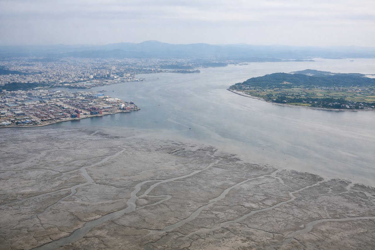
Takeoff from ICN
RIGHTDeparting ICN, the aircraft climbs out over Yeongjong Island's tidal flats and then curves east, putting Seoul's skyline and the Han River on the right side before the route bends north toward the Korean east coast and interior ranges. The left side mostly shows the flat, featureless Yellow Sea.
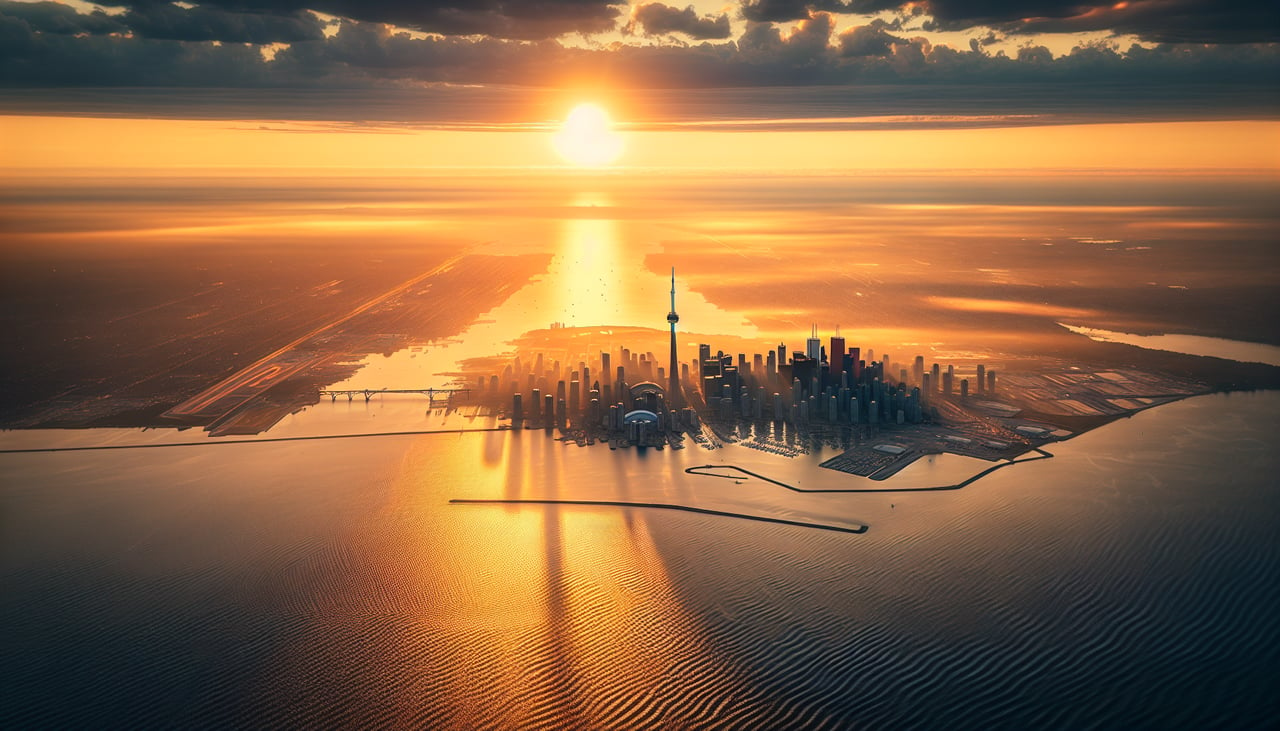
Landing at YYZ
RIGHTArriving into YYZ from the north, the descent path swings the aircraft over southern Ontario's patchwork farmland and lakes before a turn toward the runways gives right-side passengers a view of Lake Ontario's shoreline and the Toronto skyline, including the CN Tower. The left side mainly faces inland flatlands with fewer landmarks.
Landmarks on this routeAll landmarks →
Will your flight be in sunlight?
See exactly which side of the plane gets sun and shade at your departure time.
About This Route
Which side of the plane should I sit on flying from Incheon International (ICN) to Lester B Pearson International (YYZ)?
Sit on the Right side of the plane for the best views on flights from Seoul to Toronto. The right side strings together Seoul's skyline on departure, the volcanic peaks of Kamchatka and the Alaska Range during cruise, and Lake Ontario with the Toronto skyline on arrival, while the left side spends most of the flight facing open ocean, Arctic ice, and featureless tundra.
What can I see during takeoff from Incheon International in Seoul?
During takeoff from Incheon International (ICN), sit on the Right side for the best views. Departing ICN, the aircraft climbs out over Yeongjong Island's tidal flats and then curves east, putting Seoul's skyline and the Han River on the right side before the route bends north toward the Korean east coast and interior ranges. The left side mostly shows the flat, featureless Yellow Sea. Notable sights include: Seoul skyline along the Han River, Incheon's tidal-flat coastline, Taebaek mountain range in the distance.
What can I see when landing at Lester B Pearson International in Toronto?
When landing at Lester B Pearson International (YYZ), sit on the Right side for the best views. Arriving into YYZ from the north, the descent path swings the aircraft over southern Ontario's patchwork farmland and lakes before a turn toward the runways gives right-side passengers a view of Lake Ontario's shoreline and the Toronto skyline, including the CN Tower. The left side mainly faces inland flatlands with fewer landmarks. Notable sights include: Toronto skyline with the CN Tower, Lake Ontario shoreline, patchwork farmland of southern Ontario, Niagara Escarpment ridgeline.
How long is the flight from Seoul to Toronto?
The flight from Incheon International (ICN) to Lester B Pearson International (YYZ) takes 13h 40m.
What does the Seoul to Toronto flight path pass over?
Kamchatka Peninsula volcanoes, Aleutian Islands and Bering Sea, Alaska Range near Denali, Canadian Arctic tundra, Hudson Bay coastline